GIS & Mapping

GIS is an efficient and cost-effective way to analyse and present data
Our Geographical Information Systems (GIS) service enables multiple layers of data to be visualised, interrogated, and analysed. This helps understand and communicate ecological issues and determine potential impacts. We use GIS to support all aspects of our work.
We also provide a standalone GIS service.
A selection of our commonly used GIS services include
-
Support for Biodiversity Net Gain Assessments by mapping and calculating habitat areas before and after development.
-
Air quality contour maps to inform air quality assessments
-
Constraints and opportunities mapping to help inform masterplanning
-
Designated sites mapping to understand potential impacts.
-
Protected and Priority Species records mapping to inform Ecological Impact Assessments
-
Habitat maps to help inform the ecological baseline
-
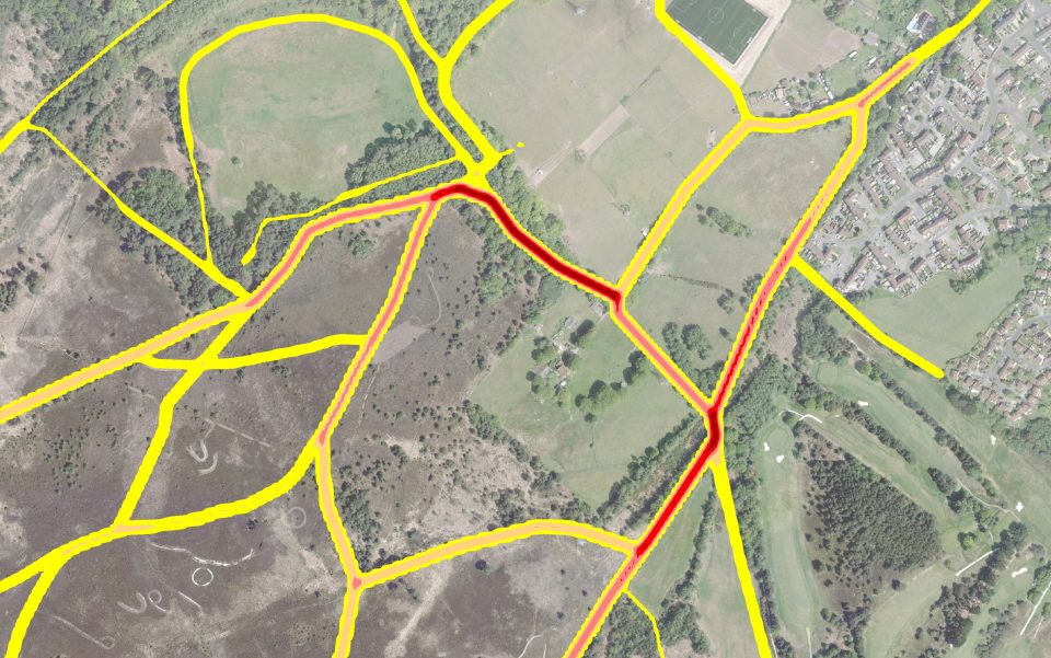
Density and heat mapping. This, for example, allows the analysis of visitor survey data to show which areas of a site are busiest.
-
Mapping to support our SANG design service
Whatever your requirements, our GIS team has the expertise and resources to provide you with high quality, reliable and informative maps.
We can source designated sites and local records data, subject to any applicable data-sharing restrictions, so that maps are up to date and reliable.
All maps are created using Esri ArcMap, and we can provide data in many formats including pdf, ESRI shapefile, MapInfo Tab, dwg and Excel.